Mapeamento Topográfico
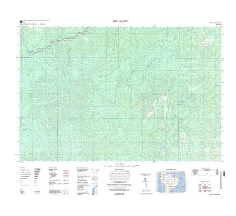
RIO ACARI - ed. 1982 - impressão digital
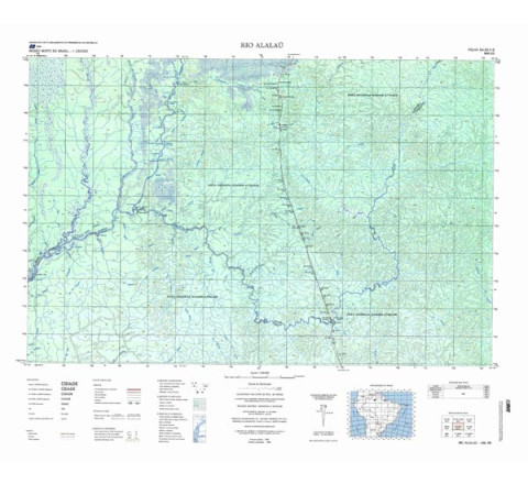
RIO ACARI - ed. 1982 - impressão digital - FOLHA TOPOGRÁFICA IMPRESSA A PARTIR DE ORIGINAL EXISTENTE NO ACERVO DA BIBLIOTECA DO IBGE, PODENDO HAVER ALGUM TIPO DE DISTORÇÃO - Mapeamento sistemático de caráter permanente, atualizado periodicamente, em diferentes escalas.RIO ALALAU - ed. 1982. - impressão digital
RIO ALALAU - ed. 1982. - impressão digital - FOLHA TOPOGRÁFICA IMPRESSA A PARTIR DE ORIGINAL EXISTENTE NO ACERVO DA BIBLIOTECA DO IBGE, PODENDO HAVER ALGUM TIPO DE DISTORÇÃO - Mapeamento sistemático de caráter permanente, atualizado periodicamente, em diferentes escalas.RIO ANDORINHAS - ed. 1983
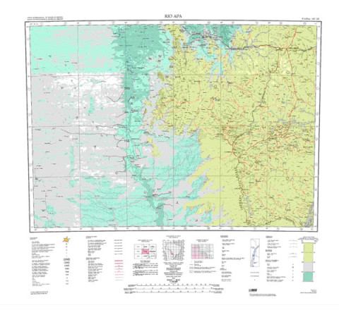
Mapeamento sistemático de caráter permanente, atualizado periodicamente, em diferentes escalas. A coletânea de cartas abrange grande parte do território nacional.RIO APA - ed. 1998 - impressão digital
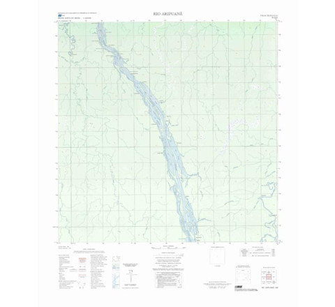
FOLHA TOPOGRÁFICA IMPRESSA A PARTIR DE ORIGINAL EXISTENTE NO ACERVO DA BIBLIOTECA DO IBGE, PODENDO HAVER ALGUM TIPO DE DISTORÇÃO - Editada pela primeira vez em 1909 pelo Clube de Engenharia, passando em 1939 para a responsabilidade do IBGE. A edição da primeira folha foi em 1948. A coleção de 46 folhas abrange todo o território nacional e é editada decenalmente.RIO ARIPUANÃ - ed. 1985 - impressão digital
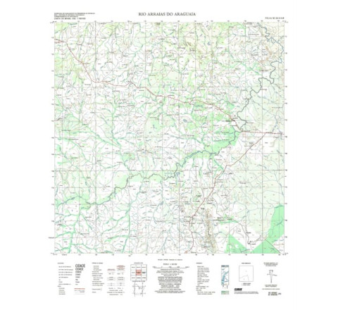
RIO ARIPUANÃ - ed. 1985 - impressão digital - FOLHA TOPOGRÁFICA IMPRESSA A PARTIR DE ORIGINAL EXISTENTE NO ACERVO DA BIBLIOTECA DO IBGE, PODENDO HAVER ALGUM TIPO DE DISTORÇÃO - Mapeamento sistemático de caráter permanente, atualizado periodicamente, em diferentes escalas.RIO ARRAIAS DO ARAGUAIA - ed. 1979 - impressão digital
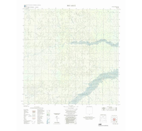
RIO ARRAIAS DO ARAGUAIA - ed. 1979 - impressão digital - FOLHA TOPOGRÁFICA IMPRESSA A PARTIR DE ORIGINAL EXISTENTE NO ACERVO DA BIBLIOTECA DO IBGE, PODENDO HAVER ALGUM TIPO DE DISTORÇÃO - Mapeamento sistemático de caráter permanente, atualizado periodicamente, em diferentes escalas.RIO ARUÃ - ed. 1986 - impressão digital
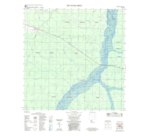
RIO ARUÃ - ed. 1986 - impressão digital - FOLHA TOPOGRÁFICA IMPRESSA A PARTIR DE ORIGINAL EXISTENTE NO ACERVO DA BIBLIOTECA DO IBGE, PODENDO HAVER ALGUM TIPO DE DISTORÇÃO - Mapeamento sistemático de caráter permanente, atualizado periodicamente, em diferentes escalas.RIO AUAIA-MIÇU - ed. 1986 - impressão digital
RIO AUAIA-MIÇU - ed. 1986 - impressão digital - FOLHA TOPOGRÁFICA IMPRESSA A PARTIR DE ORIGINAL EXISTENTE NO ACERVO DA BIBLIOTECA DO IBGE, PODENDO HAVER ALGUM TIPO DE DISTORÇÃO - Mapeamento sistemático de caráter permanente, atualizado periodicamente, em diferentes escalas.RIO AURI - ed. 1983 - impressão digital
FOLHA TOPOGRÁFICA IMPRESSA A PARTIR DE ORIGINAL EXISTENTE NO ACERVO DA BIBLIOTECA DO IBGE, PODENDO HAVER ALGUM TIPO DE DISTORÇÃO - Mapeamento sistemático de caráter permanente, atualizado periodicamente, em diferentes escalas.RIO AUTAZ-MIRIM - ed. 1985 - impressão digital
RIO AUTAZ-MIRIM - ed. 1985 - impressão digital - FOLHA TOPOGRÁFICA IMPRESSA A PARTIR DE ORIGINAL EXISTENTE NO ACERVO DA BIBLIOTECA DO IBGE, PODENDO HAVER ALGUM TIPO DE DISTORÇÃO - Mapeamento sistemático de caráter permanente, atualizado periodicamente, em diferentes escalas.
Categorias
Todas as Categorias
- Produtos Recentes

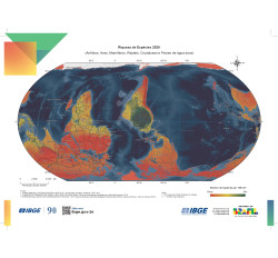
IBGE pelo Mundo 2025
R$30,00