Mapeamento Topográfico
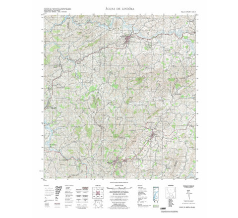
AGUAS DE LINDÓIA - ed. 1972 - impressão digital
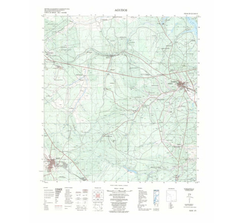
FOLHA TOPOGRÁFICA IMPRESSA A PARTIR DE ORIGINAL EXISTENTE NO ACERVO DA BIBLIOTECA DO IBGE, PODENDO HAVER ALGUM TIPO DE DISTORÇÃO - Mapeamento sistemático de caráter permanente, atualizado periodicamente, em diferentes escalas.AGUDOS - ed. 1973 - impressão digital
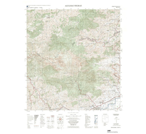
FOLHA TOPOGRÁFICA IMPRESSA A PARTIR DE ORIGINAL EXISTENTE NO ACERVO DA BIBLIOTECA DO IBGE, PODENDO HAVER ALGUM TIPO DE DISTORÇÃO - Mapeamento sistemático de caráter permanente, atualizado periodicamente, em diferentes escalas.AGULHAS NEGRAS - ed. 1981 - impressão digital
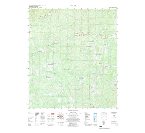
FOLHA TOPOGRÁFICA IMPRESSA A PARTIR DE ORIGINAL EXISTENTE NO ACERVO DA BIBLIOTECA DO IBGE, PODENDO HAVER ALGUM TIPO DE DISTORÇÃO - Mapeamento sistemático de caráter permanente, atualizado periodicamente, em diferentes escalas.AGUTI - ed. 1974 - impressão digital
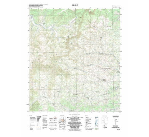
FOLHA TOPOGRÁFICA IMPRESSA A PARTIR DE ORIGINAL EXISTENTE NO ACERVO DA BIBLIOTECA DO IBGE, PODENDO HAVER ALGUM TIPO DE DISTORÇÃO - Mapeamento sistemático de caráter permanente, atualizado periodicamente, em diferentes escalas.AIURE - ed. 1976 - impressão digital
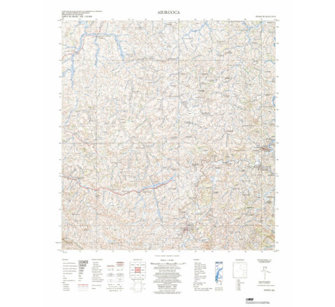
FOLHA TOPOGRÁFICA IMPRESSA A PARTIR DE ORIGINAL EXISTENTE NO ACERVO DA BIBLIOTECA DO IBGE, PODENDO HAVER ALGUM TIPO DE DISTORÇÃO - Mapeamento sistemático de caráter permanente, atualizado periodicamente, em diferentes escalas.AIURUOCA - ed. 1975 - impressão digital
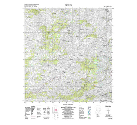
FOLHA TOPOGRÁFICA IMPRESSA A PARTIR DE ORIGINAL EXISTENTE NO ACERVO DA BIBLIOTECA DO IBGE, PODENDO HAVER ALGUM TIPO DE DISTORÇÃO - Mapeamento sistemático de caráter permanente, atualizado periodicamente, em diferentes escalas.ALAGOA - ed. 1974 - impressão digital
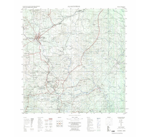
FOLHA TOPOGRÁFICA IMPRESSA A PARTIR DE ORIGINAL EXISTENTE NO ACERVO DA BIBLIOTECA DO IBGE, PODENDO HAVER ALGUM TIPO DE DISTORÇÃO - Mapeamento sistemático de caráter permanente, atualizado periodicamente, em diferentes escalas.ALAGOINHAS - ed. 1967 - impressão digital
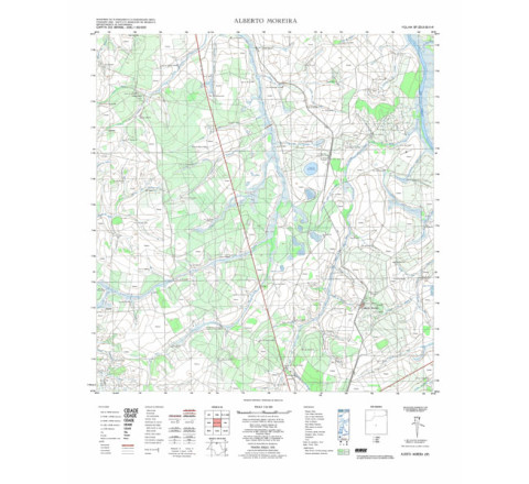
FOLHA TOPOGRÁFICA IMPRESSA A PARTIR DE ORIGINAL EXISTENTE NO ACERVO DA BIBLIOTECA DO IBGE, PODENDO HAVER ALGUM TIPO DE DISTORÇÃO - Mapeamento sistemático de caráter permanente, atualizado periodicamente, em diferentes escalas.ALBERTO MOREIRA - ed. 1972 - impressão digital
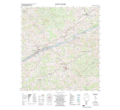
FOLHA TOPOGRÁFICA IMPRESSA A PARTIR DE ORIGINAL EXISTENTE NO ACERVO DA BIBLIOTECA DO IBGE, PODENDO HAVER ALGUM TIPO DE DISTORÇÃO - Mapeamento sistemático de caráter permanente, atualizado periodicamente, em diferentes escalas.ALEM PARAIBA - ed. 1978 - impressão digital
ALEM PARAIBA - ed. 1978 - impressão digital - FOLHA TOPOGRÁFICA IMPRESSA A PARTIR DE ORIGINAL EXISTENTE NO ACERVO DA BIBLIOTECA DO IBGE, PODENDO HAVER ALGUM TIPO DE DISTORÇÃO - Mapeamento sistemático de caráter permanente, atualizado periodicamente, em diferentes escalas.


