Cartas, Mapas e Cartogramas
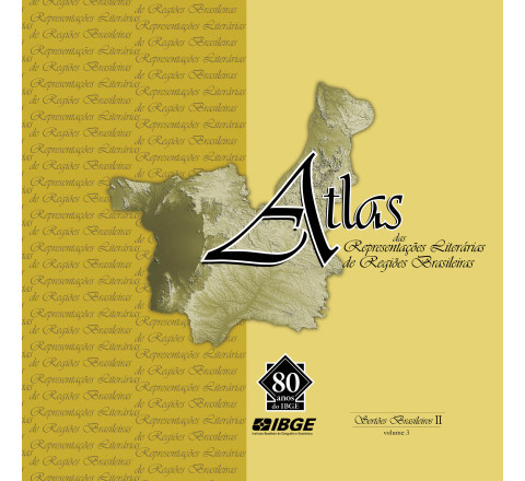
Atlas das representações literárias de regiões brasileiras - Sertões Brasileiros II - vol. 3
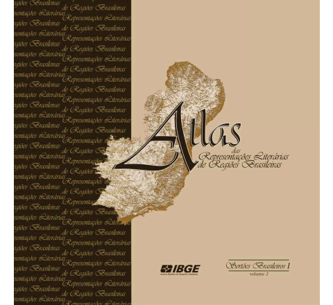
A coleção Atlas das representações literárias de regiões brasileiras tem por objetivo identificar e representar, por meio de mapas em diferentes escalas, fotos e imagens de satélite, regiões brasileiras que constituíram elemento marcante da trama de algumas das grandes obras da literatura nacional, construindo, dessa forma, um mapeamento onde a identidade é o elemento central para individualização dos diferentes segmentos territoriais que compõem o quadro nacional. Depois de Brasil Meridional e Sertões Brasileiros I, lançados, respectivamente, em 2006 e 2009, o IBGE traz a público o terceiro volume da coleção, Sertões Brasileiros II, que reúne os recortes territoriais de Sertões do Oeste e Sertões de Passagem, seguindo a proposta que fundamentou as edições anteriores, qual seja, a de identificar regiões que se formaram no processo de ocupação do território e que, por suas peculiaridades, deixaram uma marca indelével em nossa história, ensejando o surgimento de manifestações culturais com forte presença no imaginário nacional.Atlas das representações literárias de regiões brasileiras - Sertões Brasileiros I - vol. 2
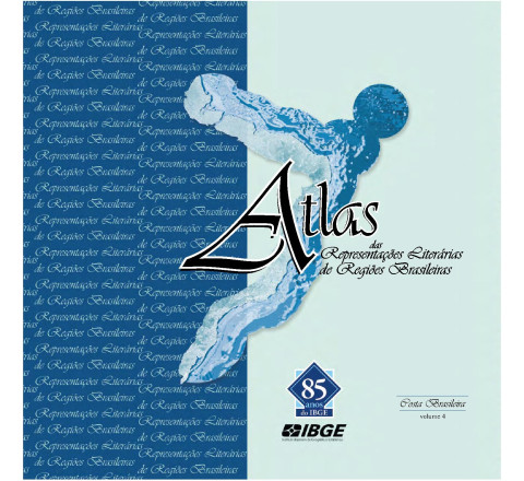
Em 2006, com o lançamento do volume Brasil Meridional, o IBGE deu início à coleção Atlas das representações literárias de regiões brasileiras, que tem por objetivo identificar e representar, através de mapas em diferentes escalas, fotos e imagens de satélite, regiões brasileiras que constituíram elemento marcante da trama de algumas das grandes obras da Literatura nacional, construindo, dessa forma, um mapeamento onde a identidade é o elemento central para individualização dos diferentes segmentos territoriais que compõem o quadro nacional.Atlas das representações literárias de regiões brasileiras - Costa Brasileira - vol. 4
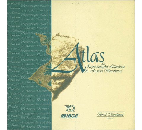
Com esta obra, Atlas das Representações Literárias de Regiões Brasileiras, o IBGE dá início a uma coleção cobrindo o Território Nacional por um recorre regional que associa o conhecimento específico da Geografia à percepção espacial presente em tramas de grandes obras da Literatura brasileira, sem restringir-se aos limites convencionais político-administrativos.Atlas das representações literárias de regiões brasileiras - Brasil Meridional - vol. 1
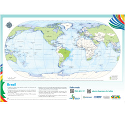
Com esta obra, Atlas das Representações Literárias de Regiões Brasileiras, o IBGE dá início a uma coleção cobrindo o Território Nacional por um recorre regional que associa o conhecimento específico da Geografia à percepção espacial presente em tramas de grandes obras da Literatura brasileira, sem restringir-se aos limites convencionais político-administrativos.ATIBAIA - ed. 1984 - impressão digital
FOLHA TOPOGRÁFICA IMPRESSA A PARTIR DE ORIGINAL EXISTENTE NO ACERVO DA BIBLIOTECA DO IBGE, PODENDO HAVER ALGUM TIPO DE DISTORÇÃO - Mapeamento sistemático de caráter permanente, atualizado periodicamente, em diferentes escalas.ATALÉIA - ed. 1979 - impressão digital
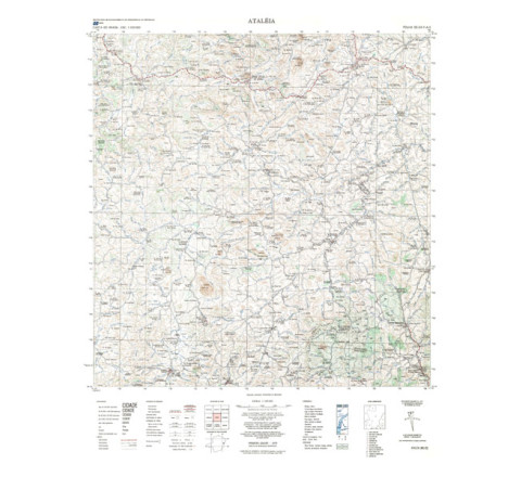
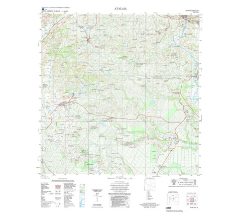
FOLHA TOPOGRÁFICA IMPRESSA A PARTIR DE ORIGINAL EXISTENTE NO ACERVO DA BIBLIOTECA DO IBGE, PODENDO HAVER ALGUM TIPO DE DISTORÇÃO - Mapeamento sistemático de caráter permanente, atualizado periodicamente, em diferentes escalas.ATALAIA - ed. 1985 - impressão digital
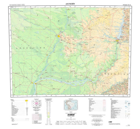
FOLHA TOPOGRÁFICA IMPRESSA A PARTIR DE ORIGINAL EXISTENTE NO ACERVO DA BIBLIOTECA DO IBGE, PODENDO HAVER ALGUM TIPO DE DISTORÇÃO - Mapeamento sistemático de caráter permanente, atualizado periodicamente, em diferentes escalas.ASUNCIÓN - ed. 1998 - impressão digital
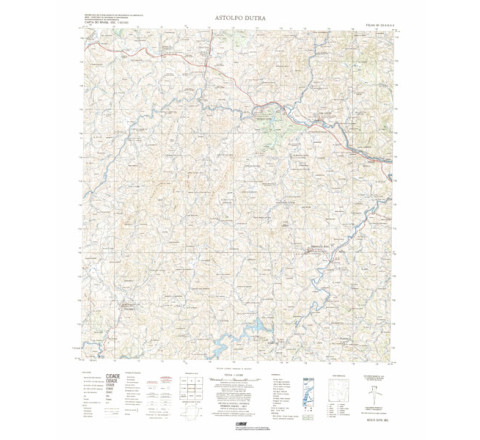
ASUNCIÓN - ed. 1998 - impressão digital - FOLHA TOPOGRÁFICA IMPRESSA A PARTIR DE ORIGINAL EXISTENTE NO ACERVO DA BIBLIOTECA DO IBGE, PODENDO HAVER ALGUM TIPO DE DISTORÇÃO - Mapeamento sistemático de caráter permanente, atualizado periodicamente, em diferentes escalas.ASTOLFO DUTRA - ed. 1977 - impressão digital
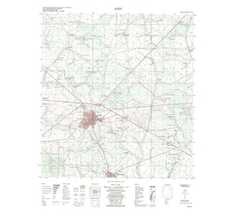
FOLHA TOPOGRÁFICA IMPRESSA A PARTIR DE ORIGINAL EXISTENTE NO ACERVO DA BIBLIOTECA DO IBGE, PODENDO HAVER ALGUM TIPO DE DISTORÇÃO - Mapeamento sistemático de caráter permanente, atualizado periodicamente, em diferentes escalas.ASSIS - ed. 1975 - impressão digital
FOLHA TOPOGRÁFICA IMPRESSA A PARTIR DE ORIGINAL EXISTENTE NO ACERVO DA BIBLIOTECA DO IBGE, PODENDO HAVER ALGUM TIPO DE DISTORÇÃO - Mapeamento sistemático de caráter permanente, atualizado periodicamente, em diferentes escalas.

Categorias
Todas as Categorias
Navegar Por
- Categoria
- Atlas (15)
- Mapeamento Topográfico (827)
- Mapeamento das Unidades Territoriais (21)
- Mapeamento Temático (8)
- Produtos Recentes