Cartas, Mapas e Cartogramas
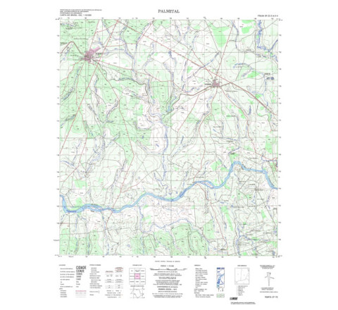
PALMITAL - ed. 1975 - impressão digital
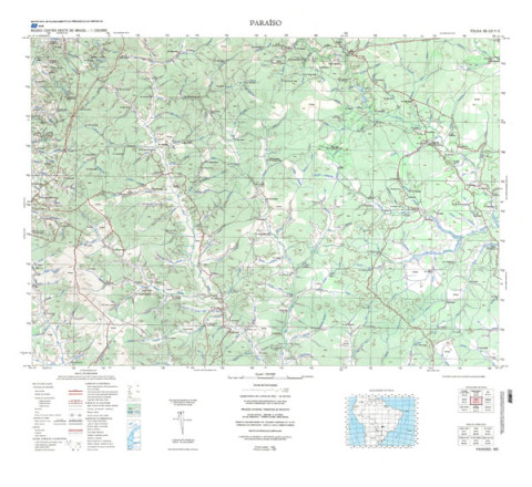
PALMITAL - ed. 1975 - impressão digital - FOLHA TOPOGRÁFICA IMPRESSA A PARTIR DE ORIGINAL EXISTENTE NO ACERVO DA BIBLIOTECA DO IBGE, PODENDO HAVER ALGUM TIPO DE DISTORÇÃO - Mapeamento sistemático de caráter permanente, atualizado periodicamente, em diferentes escalas. A coletânea de cartas abrange grande parte do território nacional.PARAÍSO - ed. 1980 - impressão digital
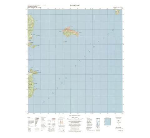
PARAÍSO - ed. 1980 - impressão digital - FOLHA TOPOGRÁFICA IMPRESSA A PARTIR DE ORIGINAL EXISTENTE NO ACERVO DA BIBLIOTECA DO IBGE, PODENDO HAVER ALGUM TIPO DE DISTORÇÃO - Mapeamento sistemático de caráter permanente, atualizado periodicamente, em diferentes escalas.PARANABI - ed. 1975 - impressão digital
PARANABI - ed. 1975 - impressão digital - FOLHA TOPOGRÁFICA IMPRESSA A PARTIR DE ORIGINAL EXISTENTE NO ACERVO DA BIBLIOTECA DO IBGE, PODENDO HAVER ALGUM TIPO DE DISTORÇÃO - Mapeamento sistemático de caráter permanente, atualizado periodicamente, em diferentes escalas.PARANACITY - ed. 1978 - impressão digital
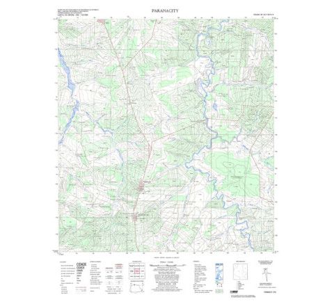
PARANACITY - ed. 1978 - impressão digital - FOLHA TOPOGRÁFICA IMPRESSA A PARTIR DE ORIGINAL EXISTENTE NO ACERVO DA BIBLIOTECA DO IBGE, PODENDO HAVER ALGUM TIPO DE DISTORÇÃO - Mapeamento sistemático de caráter permanente, atualizado periodicamente, em diferentes escalas.PARANAGUÁ - ed. 1998 - impressão digital
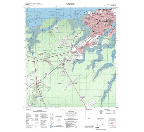
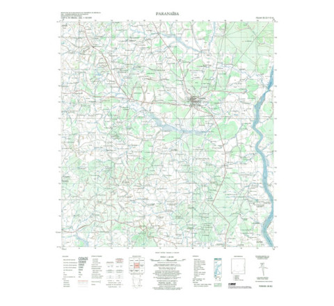
MPARANAGUÁ - ed. 1998 - impressão digital - FOLHA TOPOGRÁFICA IMPRESSA A PARTIR DE ORIGINAL EXISTENTE NO ACERVO DA BIBLIOTECA DO IBGE, PODENDO HAVER ALGUM TIPO DE DISTORÇÃO - Mapeamento sistemático de caráter permanente, atualizado periodicamente, em diferentes escalas. A coletânea de cartas abrange grande parte do território nacional.PARANAÍBA - ed. 1974
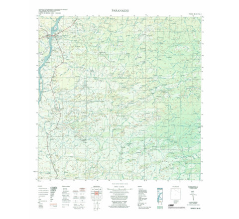
Mapeamento sistemático de caráter permanente, atualizado periodicamente, em diferentes escalas. A coletânea de cartas abrange grande parte do território nacional.PARANAIDJI - ed. 1979
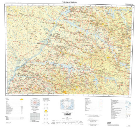
Mapeamento sistemático de caráter permanente, atualizado periodicamente, em diferentes escalas. A coletânea de cartas abrange grande parte do território nacional.PARANAPANEMA - ed. 1998 - impressão digital
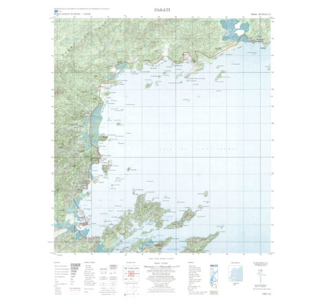
PARANAPANEMA - ed. 1998 - impressão digital - FOLHA TOPOGRÁFICA IMPRESSA A PARTIR DE ORIGINAL EXISTENTE NO ACERVO DA BIBLIOTECA DO IBGE, PODENDO HAVER ALGUM TIPO DE DISTORÇÃO - Mapeamento sistemático de caráter permanente, atualizado periodicamente, em diferentes escalas.PARATI - ed. 1974 - impressão digital
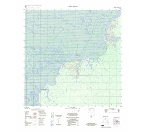
FOLHA TOPOGRÁFICA IMPRESSA A PARTIR DE ORIGINAL EXISTENTE NO ACERVO DA BIBLIOTECA DO IBGE, PODENDO HAVER ALGUM TIPO DE DISTORÇÃO - Mapeamento sistemático de caráter permanente, atualizado periodicamente, em diferentes escalas. A coletânea de cartas abrange grande parte do território nacional.PARICATUBA - ed. 1986 - impressão digital
PARICATUBA - ed. 1986 - impressão digital - FOLHA TOPOGRÁFICA IMPRESSA A PARTIR DE ORIGINAL EXISTENTE NO ACERVO DA BIBLIOTECA DO IBGE, PODENDO HAVER ALGUM TIPO DE DISTORÇÃO - Mapeamento sistemático de caráter permanente, atualizado periodicamente, em diferentes escalas.
Categorias
Todas as Categorias
Navegar Por
- Categoria
- Atlas (15)
- Mapeamento Topográfico (828)
- Mapeamento das Unidades Territoriais (21)
- Mapeamento Temático (8)
- Produtos Recentes

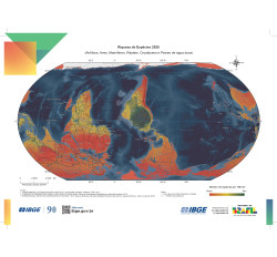
IBGE pelo Mundo 2025
R$30,00