Cartas, Mapas e Cartogramas
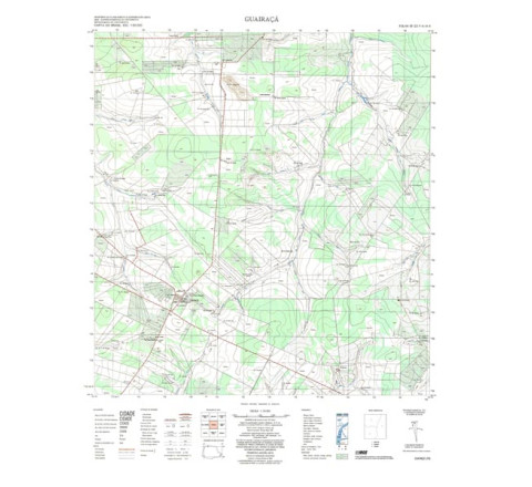
GUAIRAÇÁ - ed. 1973 - impressão digital
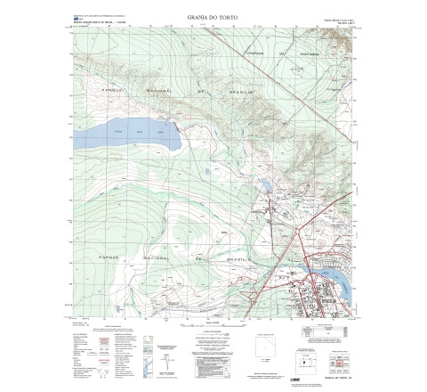
GUAIRAÇÁ - ed. 1973 - impressão digital - FOLHA TOPOGRÁFICA IMPRESSA A PARTIR DE ORIGINAL EXISTENTE NO ACERVO DA BIBLIOTECA DO IBGE, PODENDO HAVER ALGUM TIPO DE DISTORÇÃO - Mapeamento sistemático de caráter permanente, atualizado periodicamente, em diferentes escalas.GRANJA DO TORTO (SO) - ed. 1984 - impressão digital
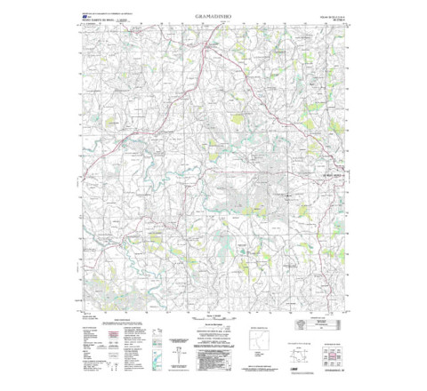
FOLHA TOPOGRÁFICA IMPRESSA A PARTIR DE ORIGINAL EXISTENTE NO ACERVO DA BIBLIOTECA DO IBGE, PODENDO HAVER ALGUM TIPO DE DISTORÇÃO - Mapeamento sistemático de caráter permanente, atualizado periodicamente, em diferentes escalas.GRAMADINHO - ed. 1982 - impressão digital
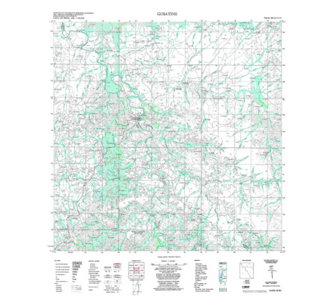
GRAMADINHO - ed. 1982 - impressão digital - FOLHA TOPOGRÁFICA IMPRESSA A PARTIR DE ORIGINAL EXISTENTE NO ACERVO DA BIBLIOTECA DO IBGE, PODENDO HAVER ALGUM TIPO DE DISTORÇÃO - Mapeamento sistemático de caráter permanente, atualizado periodicamente, em diferentes escalas. A coletânea de cartas abrange grande parte do território nacional. Neste mapeamento estão representadas as informações relativas aos aspectos físicos do terreno, como hidrografia, vegetação e relevo, e aos aspectos culturais, como obras públicas e edificações, rodovias, ferrovias e aeroportos. Contém ainda a toponímia dos acidentes geográficos e pontos de controle geodésicos utilizados no mapeamento. As folhas publicadas que compõem cada conjunto mapeado, inclusive as editadas por outras instituições, podem ser identificadas no mapa índice do Mapeamento Geral do Brasil. - FOLHA TOPOGRÁFICA IMPRESSA A PARTIR DE ORIGINAL EXISTENTE NO ACERVO DA BIBLIOTECA DO IBGE, PODENDO HAVER ALGUM TIPO DE DISTORÇÃO - Mapeamento sistemático de caráter permanente, atualizado periodicamente, em diferentes escalas. A coletânea de cartas abrange grande parte do território nacional. Neste mapeamento estão representadas as informações relativas aos aspectos físicos do terreno, como hidrografia, vegetação e relevo, e aos aspectos culturais, como obras públicas e edificações, rodovias, ferrovias e aeroportos. Contém ainda a toponímia dos acidentes geográficos e pontos de controle geodésicos utilizados no mapeamento. As folhas publicadas que compõem cada conjunto mapeado, inclusive as editadas por outras instituições, podem ser identificadas no mapa índice do Mapeamento Geral do Brasil.GOIATINS - ed. 1979 - impressão digital
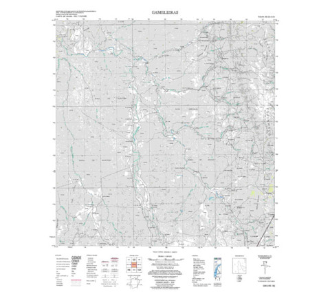
GOIATINS - ed. 1979 - impressão digital - FOLHA TOPOGRÁFICA IMPRESSA A PARTIR DE ORIGINAL EXISTENTE NO ACERVO DA BIBLIOTECA DO IBGE, PODENDO HAVER ALGUM TIPO DE DISTORÇÃO - Mapeamento sistemático de caráter permanente, atualizado periodicamente, em diferentes escalas.GAMELEIRAS - ed. 1974 - impressão digital
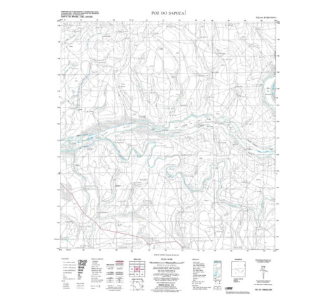
GAMELEIRAS - ed. 1974 - impressão digital - FOLHA TOPOGRÁFICA IMPRESSA A PARTIR DE ORIGINAL EXISTENTE NO ACERVO DA BIBLIOTECA DO IBGE, PODENDO HAVER ALGUM TIPO DE DISTORÇÃO - Mapeamento sistemático de caráter permanente, atualizado periodicamente, em diferentes escalas. A coletânea de cartas abrange grande parte do território nacional. Neste mapeamento estão representadas as informações relativas aos aspectos físicos do terreno, como hidrografia, vegetação e relevo, e aos aspectos culturais, como obras públicas e edificações, rodovias, ferrovias e aeroportos. Contém ainda a toponímia dos acidentes geográficos e pontos de controle geodésicos utilizados no mapeamento. As folhas publicadas que compõem cada conjunto mapeado, inclusive as editadas por outras instituições, podem ser identificadas no mapa índice do Mapeamento Geral do Brasil.FOZ DO SAPUCAI - ed. 1972 - impressão digital
FOZ DO SAPUCAI - ed. 1972 - impressão digital - FOLHA TOPOGRÁFICA IMPRESSA A PARTIR DE ORIGINAL EXISTENTE NO ACERVO DA BIBLIOTECA DO IBGE, PODENDO HAVER ALGUM TIPO DE DISTORÇÃO - Mapeamento sistemático de caráter permanente, atualizado periodicamente, em diferentes escalas.FOZ DO RIO IRIRI NOVO - ed. 1986 - impressão digital
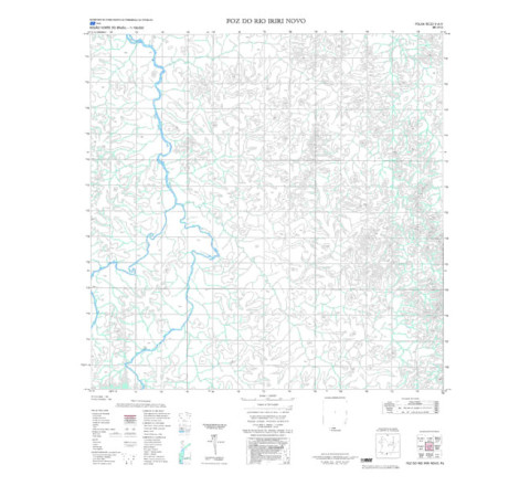
FOZ DO RIO IRIRI NOVO - ed. 1986 - impressão digital - FOLHA TOPOGRÁFICA IMPRESSA A PARTIR DE ORIGINAL EXISTENTE NO ACERVO DA BIBLIOTECA DO IBGE, PODENDO HAVER ALGUM TIPO DE DISTORÇÃO - Mapeamento sistemático de caráter permanente, atualizado periodicamente, em diferentes escalas.FOZ DO RIO IPIRANGA - ed. 1986 - impressão digital
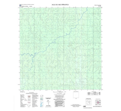
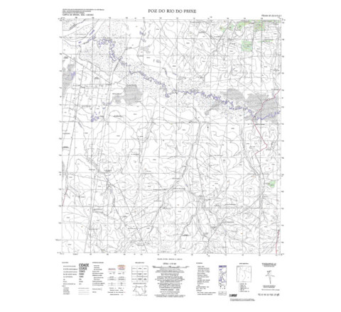
FOZ DO RIO IPIRANGA - ed. 1986 - impressão digital - FOLHA TOPOGRÁFICA IMPRESSA A PARTIR DE ORIGINAL EXISTENTE NO ACERVO DA BIBLIOTECA DO IBGE, PODENDO HAVER ALGUM TIPO DE DISTORÇÃO - Mapeamento sistemático de caráter permanente, atualizado periodicamente, em diferentes escalas.FOZ DO RIO DO PEIXE - ed. 1975 - impressão digital
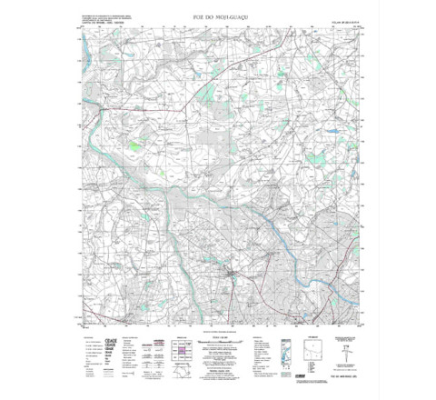
FOZ DO RIO DO PEIXE - ed. 1975 - impressão digital - FOLHA TOPOGRÁFICA IMPRESSA A PARTIR DE ORIGINAL EXISTENTE NO ACERVO DA BIBLIOTECA DO IBGE, PODENDO HAVER ALGUM TIPO DE DISTORÇÃO - Mapeamento sistemático de caráter permanente, atualizado periodicamente, em diferentes escalas.FOZ DO MOJI-GUAÇU - ed. 1972 - impressão digital
FOZ DO MOJI-GUAÇU - ed. 1972 - impressão digital - FOLHA TOPOGRÁFICA IMPRESSA A PARTIR DE ORIGINAL EXISTENTE NO ACERVO DA BIBLIOTECA DO IBGE, PODENDO HAVER ALGUM TIPO DE DISTORÇÃO - Mapeamento sistemático de caráter permanente, atualizado periodicamente, em diferentes escalas.


